names & etymology
the gōpun name 'godali' comes from a locative form of the name of the goddess of the land, gōdās.
in niulem the traditional name is 'gohlweng' meaning "all lands"
in nekutti the name is 'skiirah', from a stem associated with land or hills
inhabitants
godali is the homeworld of the kasloseans; so called after the noto constellation their system is located in. contact with them was made accidentally and prematurely in the earliest years of space exploration when modern colonisation and exploration regulations had not been put in place yet.
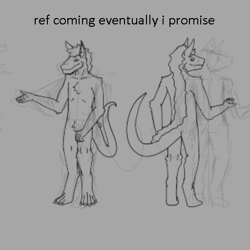
biologically, kasloseans belong to a species of jūdulus, a clade of savanna-dwelling scavengers and detritivores that are mainly found in reyleng. they are diplontic, bilaterally symmetrical, warm blooded, digitigrade, and possess fur. fur colours vary between red, orange, yellow, and white, and occasionally black pigments may also occur. they are also around a metre and a half tall on average.
the first kasloseans are thought to have emerged as hunter gatherers in reyleng about 300,000 years ago before migrating over much of godali. agriculture was developed concurrently in separate locations, most notably possibly at the far eastern end of samleng some 10,000 years ago, and the earliest, and, to this day, most influential civilisations have mostly developed along the crossroads between samleng and gogut some 3000 years ago.
when kasloseans were first contacted a post-iron age society had been reached in niulem and dōdifatun, which was then subsequently disturbed with the illicit distribution of extraterrestrial technology. this massive disturbance caused the greatest humanitarian crisis ever seen in the interstellar community as massive wars, expansionism, and colonialism were undertaken by nations which had already been among the most powerful on the planet who additionally now found themselves skipping two thousand years’ worth of technological advancement compared to those who could not afford extraterrestrial weapons.
a large scale diplomatic effort from the interstellar community commenced in response to attempt to manage these consequences, and was overall successful. the areas that had been affected the most had been for the most part returned to their indigenous peoples, but many areas would still choose to modernise to current technology levels. outside of these areas, the proliferation of modern technology is extremely tightly regulated, and the remaining uncontacted areas of the planet are very strongly protected.
orbit & satellites
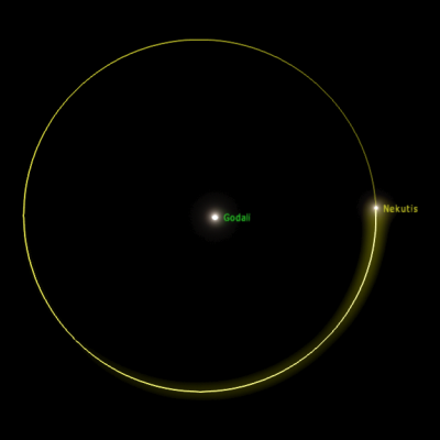
godali orbits its sun at a semi-major axis of 0.6 AU, and rotates on its axis every 30 hours and 17 minutes, giving it a year that is 165.5 local days long; 208.8 earth days long.
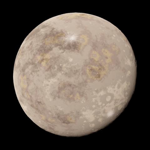
godali has one main satellite, nekutis.
nekutis is 0.008 earth masses and 0.234 earth radii, and orbits godali at a distance of 377,000 km.
it takes nekutis 23.8 earth days to finish an orbit.
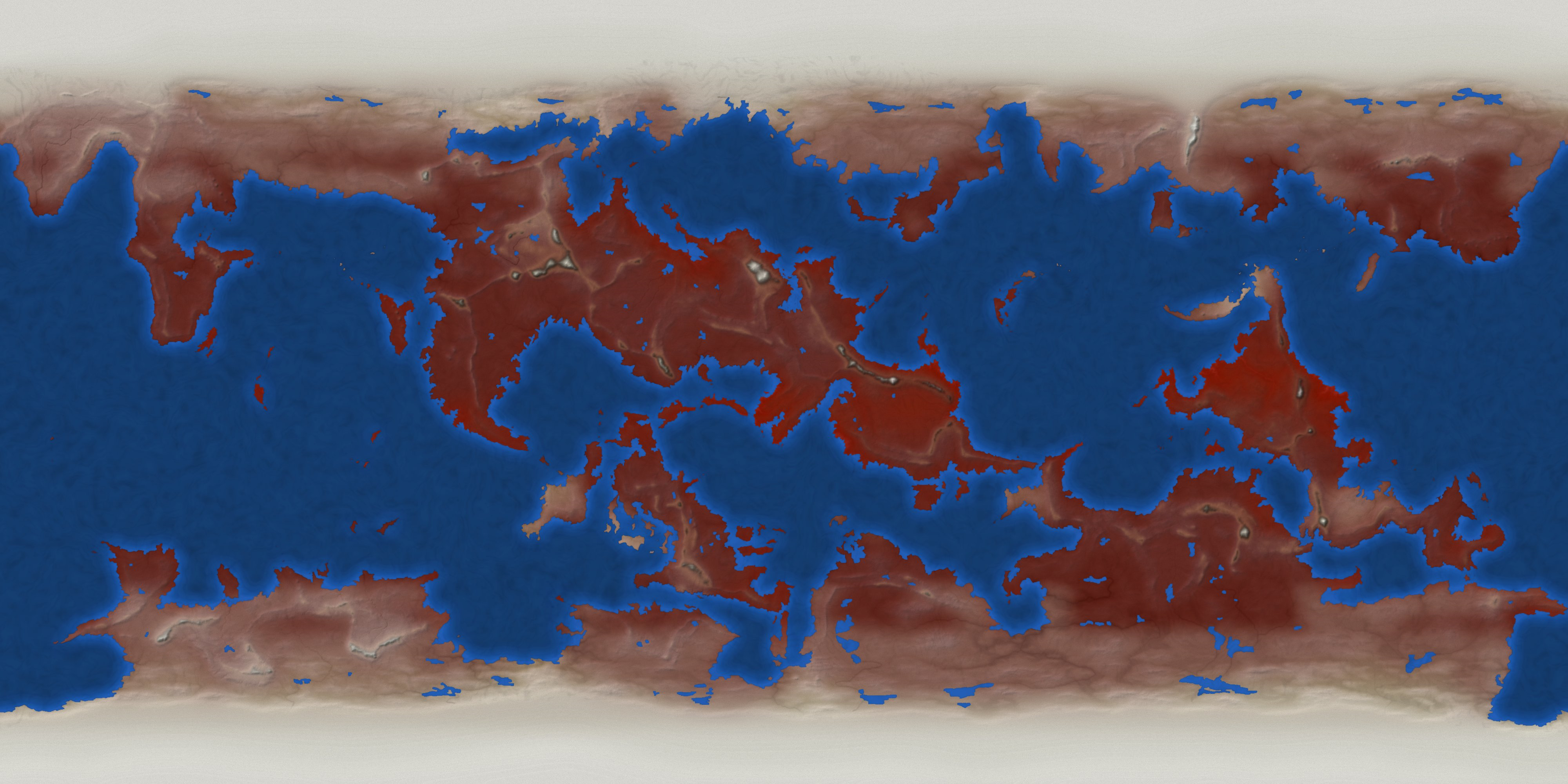
geography
godali is most often divided into four main 'continents'/geographical megaregions:
- reyleng - the eastern continent
- samleng - the southern portion of the largest landmass
- holeng - the northern portion of the largest landmass, including the north pole
- gogut - the southern landmass, including the south pole